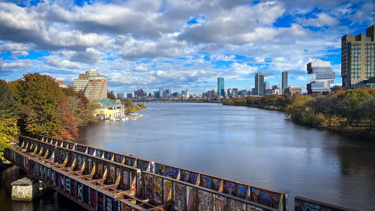
Boston held its first-ever Deployables Day on Friday. The day focused on education and training for flood control. The day was sunny with a slight breeze, making discussion about fluid control and floodbreaks seem out of place. But for Boston, a year out from last year’s flooding-turned-state of emergency, nothing could be more relevant.
There are many reasons why the National Oceanic and Atmospheric Administration has predicted that Boston is going to experience more high-tide flooding than any other city in the Northeast. Boston is a coastal town, and much of it was originally a part of the harbor. Numerous projects have filled in large swaths of the water since as early as 1722, expanding Boston’s coastline and creating the city that we know today. However, the colonists responsible for these projects only filled in the land a few feet above high tide. While this was functional for a few centuries, the colonists did not anticipate the rising sea levels of today. The sea level has risen around 8-9 inches since 1880, and is not going to stop rising anytime soon. That means that what was once a sufficiently high coastline is now one susceptible to flooding, even from less intense storms.
Even though it may seem difficult to believe that race can play a factor in environmental issues, many cities throughout America, including Boston, showcase the lasting environmental impacts of racism through redlining. Redlining began in 1933 in the face of a housing crisis. The government created maps for each neighborhood, labeling it a certain color based on the presumed financial reliability of the residents. While the professed goal was to prevent banks from giving loans to people that wouldn’t pay them back, especially in the post-Great Depression era, what really ended up happening was legalized segregation. Neighborhoods with a majority of people of color were “redlined,” neighborhoods that were racially integrated were “yellow-lined,” almost exclusively white neighborhoods were “blue-lined” and more financially desirable, exclusively white neighborhoods were “green-lined.”
The color of your neighborhood impacted everything, from the resources put into the local schools to how susceptible that neighborhood was to environmental disasters. Resources like “Mapping Inequality,” the University of Richmond’s redlining database, show us the different ways flooding impacts communities across the country. Green-lined neighborhoods in cities like Huntington, W.Va. and San Diego, Calif. are free from flood hazards, whereas yellow-lined and redlined neighborhoods in places such as Evansville, Ind., Pittsburg, Pa. and Massachusetts’ very own Holyoke and Chicopee are either subject to flood hazard or have experienced severe flooding in the past.
It’s not just that white and wealthy people were able to buy homes in neighborhoods safe from flooding; they also received better flood protection. Neighborhoods in Los Angeles, Calif. and the Binghamton-Johnson area of New York were both subjected to flood threats, but they received the necessary flood control project funding from the government.
Even though redlining was banned in 1968, its impacts can still be seen in Boston’s flooding. Neighborhoods like the South End and South Boston, which were historically redlined, are projected to see the greatest increase in land impacted by flooding. East Boston, South Dorchester and Brighton, similarly redlined, currently have the greatest amount of land exposed to stormwater. While redlined neighborhoods and neighborhoods impacted by flooding are not necessarily all correlated, there is a clear pattern, one that tells a story of areas that were once legally marginalized and continue to be unevenly impacted by flooding.
Climate change is real — this is a fact, not a debatable topic. Environmental racism and the lasting impacts of redlining are also real, and they only grow more powerful the longer they go ignored. There’s a reason that certain communities consistently flood over others. There’s a reason Boston keeps breaking its own flood height records. But, hope is not lost. There are many resources available to us to reduce flooding, like Boston’s rain barrel program. The city government has also been implementing green infrastructure like rain gardens in order to mitigate the impacts of storms, showing that we are moving in the right direction. You can even email your local governmental representatives, making it harder for them to ignore your environmental concerns. It may feel impossible to change these issues that are so much larger than us as individuals, but it’s only impossible if we choose to do nothing instead.


